Geology of Crater Lake National Park
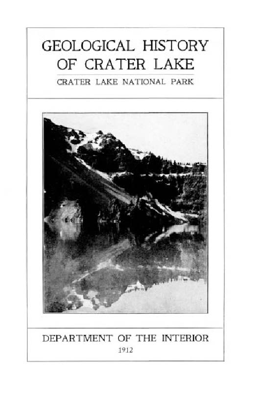
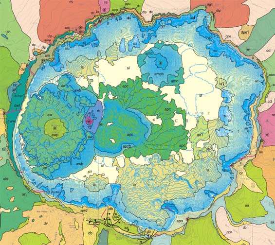
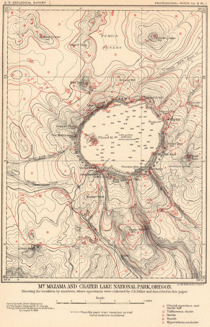
Crater Lake is a geological laboratory par excellence, for here we find an immense mountain (the hypothetical Mount Mazama) dissected for us, and its core displayed.
How was Crater Lake formed?
CRLA-chain-volcanos to download this graphic as a pdf or click to enlarge.
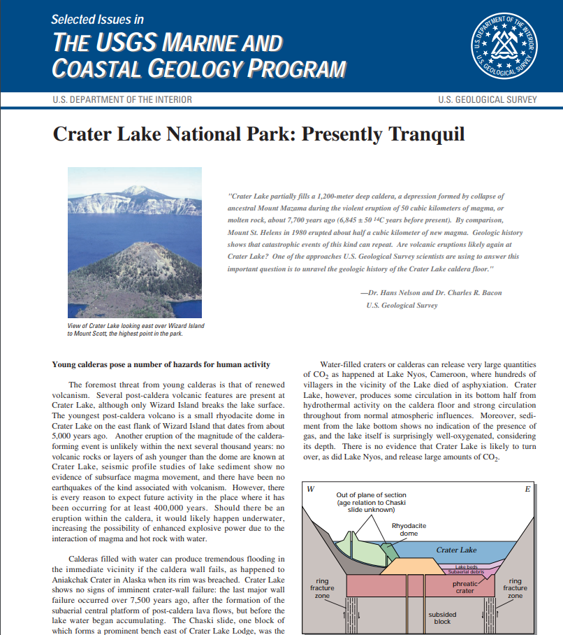
The phrase “GREW, BLEW, FELL, and FILL” describes the process that created Crater Lake.
Grew – Mount Mazama was a large composite volcano that was built during the past 400,000 years by hundreds of smaller eruptions of lava flows. Mount Mazama rose to an approximate height of 3,700 m (12,000 ft) above sea level.
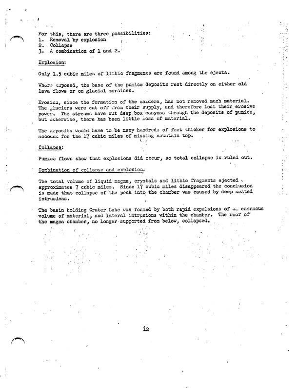
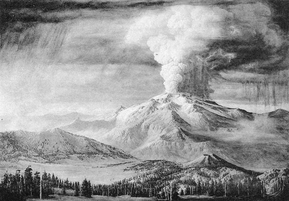
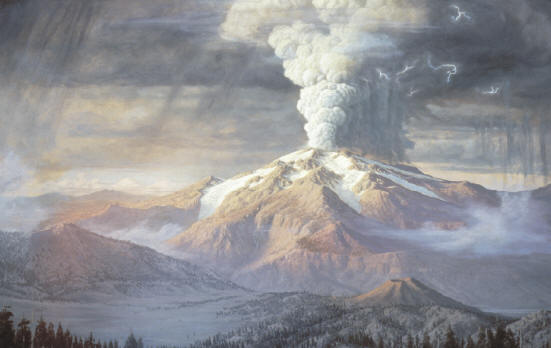
BLEW – About 7,700 years ago, Mount Mazama erupted catastrophically, blowing out about 50 km3 (12 mi3) of magma in a few days. The volcanic ash covered parts of the northwestern states, spreading as far as central Canada. Rare particles of Mazama ash have even been found in ancient ice from Greenland. The airfall pumice and ash covered a total surface area of more than 2,600,000 km2 (1,000,000 mi2) at least 1 mm thick. A volume of 42-54 km3 (10-13 mi3) of the mountaintop had disappeared. Where had all this mass gone? Did Mount Mazama blow its top off?
FELL – Mount Mazama did not blow its top off; it collapsed in on itself. As this enormous volume of magma was rapidly removed from the chamber to feed the climactic eruption, it created a huge void underneath the mountain. Leaving no support for this massive dome, the roof of the magma chamber collapsed, forming the bowl-shape depression known as a caldera.
FILL – About 5,000 to 6,000 years ago, the accumulation of rain and snow filled the caldera. It took perhaps 250 years for the caldera to fill to its present-day lake level, which is maintained by a balance between precipitation and evaporation plus seepage.
Introduction
Here we have revealed to us all the evidence necessary to reconstruct the processes which formed Mount Mazama, and the clues to the activity of vulcanism and glaciation.
As the Grand Canyon gives an unequalled calendar to the entire history of sedimentary processes upon the North American continent, so Crater Lake Rim exposes the history of the more recent volcanic forces, which so appreciably altered the topography of the Northwest.[Crater Lake National Park as a Field for Scientific Research, Nature Notes From Crater Lake, Vol. 23, 1992]
Other pages in this section


