Crater Lake National Park Air Quality Information Overview
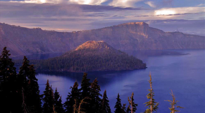
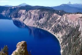
Crater Lake NP was established in 1902 to preserve Crater Lake, the deepest lake in the United States and the seventh deepest lake in the world. The lake is the result of a volcanic eruption and subsequent caldera collapse and is located along the crest of the Cascades in southern Oregon. Its vivid blue color results from the extreme depth, low organic matter, and low productivity. Inputs to the lake are primarily snow and rain, and springs on the side of the caldera. There are no outflows from the lake; water is lost only through evaporation and seepage. The remainder of the park is covered by conifer forests, except for the Pumice Desert in the northern part of the park. Crater Lake NP now encompasses 183,224 acres. In 1977, the park was named a Class I air quality area, receiving the highest protection under the Clean Air Act.
Emissions of air pollutants are relatively low in southwestern Oregon. Several cities in the region, including Grants Pass, Medford, and Klamath Falls, were designated nonattainment areas because of exceedances of the particulate matter (PM-10) standards, caused primarily by woodstove burning and road dust. However, in recent years these areas have reduced PM-10 emissions and no longer exceed the standards. Those communities are now developing plans to stay in compliance with the standards, and will be designated as attainment areas when the plans are approved by the Environmental Protection Agency. Despite these reductions, air pollution from woodstoves and road dust, as well as lumber operations, automobiles, and wildland fires continue to affect air quality in Crater Lake NP.
The air quality related values (AQRVs) of Crater Lake NP are those resources that are potentially sensitive to air pollution and include visibility, water quality, soils, vegetation, and wildlife.
Visibility is a very sensitive AQRV in Crater Lake NP. Although visibility in the park is still superior to that in many parts of the country, visibility in the park is sometimes impaired by light-scattering pollutants (haze) from wood smoke, autos, and other air pollution sources. The U.S. Environmental Protection Agency’s Regional Haze regulations require States to establish goals for each Class I air quality area to improve visibility on the haziest days and ensure no degradation occurs on the clearest days. Visibility is monitored as part of the Interagency Monitoring of Protected Visual Environments (IMPROVE) network, using an aerosol sampler (1988-present), a transmissometer (1988-1991), and an automatic 35mm camera (1982; 1985-1995). An analysis of 1990-1999 data indicates that visibility in the park has improved somewhat on the clearest days, but degraded on the haziest days.
Crater Lake is a high-alkalinity system that is very well buffered against acidification from atmospheric deposition of sulfur or nitrogen compounds. However, nutrient studies suggest that Crater Lake is nitrogen-limited and thus may be sensitive to increased loading of nitrogen. Atmospheric nitrogen currently represents the majority of nitrogen input to the lake, and relatively small changes in nitrogen concentrations in deposition could increase the productivity of the lake. Increased lake productivity would cause a decrease in lake water transparency, which is an important resource value of the park.
Soils and vegetation in the park may also be sensitive to nutrient enrichment from nitrogen deposition. In some parts of the country nitrogen deposition has altered soil nutrient cycling and vegetation species composition; native plants that have evolved under nitrogen-poor conditions have been replaced by invasive species that are able to take advantage of increased nitrogen levels.
Atmospheric deposition is not monitored in Crater Lake NP. Estimates of sulfur and nitrogen wet deposition can be obtained from the NPS Air Atlas website. These estimates indicate that deposition rates are low in the area, but above natural deposition rates.
Several plant species that occur in Crater Lake NP, including Pinus ponderosa(ponderosa pine) and Populus tremuloides (quaking aspen) are known to be sensitive to ozone. Estimates of ozone concentrations and cumulative doses in the park are available from the National Park Service Air Atlas website. The estimates indicate that ozone concentrations and doses are not currently at levels known to cause injury to vegetation.
Other pages in this section


