Building motorways through the park’s backcountry proceeded apace in 1931 and 1932, despite NPS Director Horace Albright expressing some hesitancy to Solinsky about allotting funds for their construction.97 The possibility of cost overruns concerned him the most, so Albright urged the superintendent to provide more oversight of these projects now that they were funded from appropriations earmarked for the relief of high unemployment. With some 75 miles of motorways already constructed by the summer of 1932 in the park, Albright decided there was enough justification to continue building them. While the motorways overtopped earlier roads or trails in some places, most of the mileage held little interest for hikers and equestrians. This was largely due to the motorways being located without reference to views or necessarily leading to points of interest.
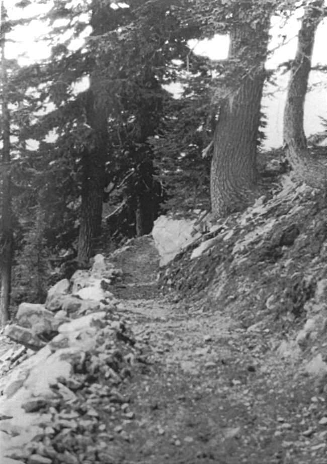
The NPS attempted to remedy these shortcomings, at least in part, by creating a network of bridle trails for equestrians between Annie Spring and Rim Village. Like the motorways, their construction began in 1930. Eleven miles of equestrian paths were built by the end of that season, starting with a trail down Dutton Creek from Rim Village that incorporated some of the nineteenth century wagon route.98 It was to form part of a large loop, one that continued toward Annie Spring by way of a pass used by the earlier wagon route to cross the watershed divide. From Annie Spring the bridle path ran north of the highway toward Munson Creek, and then to Park Headquarters where it began the climb on the lower slopes of Castle Crest to Rim Village. With one exception, other bridle paths branched from this larger loop. One of them linked Dutton Creek with Park Headquarters by climbing over Munson Ridge and could thus split the larger loop into two smaller ones. Another bridle path diverged from the main loop near Godfrey Glen and formed a smaller circuit in order to reach an area located only a short distance from the highway. The lone exception to utilizing the larger loop connected the top of Garfield Peak with the old Rim Road, but was routed east of the ridge forming Castle Crest.99
 |
| A section of one bridle trail, 1931. National Park Service photo. |

