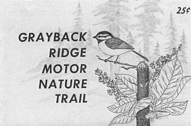
It took more time for the idea of “motor nature trails” at the park to go by the boards. Conceived in the Washington Office and promoted by NPS director George Hartzog, the intention was to spread visitors out somewhat by allowing for vehicle travel in the backcountry of parks. As a sort of counterbalance to managing most of the acreage at Crater Lake and other national parks as wilderness, motor nature trails remained unpaved (though sometimes oiled) and generally included an interpretive component such as wayside exhibits. A portion of the old Rim Road between Lost Creek and Vidae Falls was already maintained (meaning re-graded on something of an annual basis) as an alternate route to the Rim Drive above it in the postwar years due to sporadic problems with rockfall between Kerr Notch and Sun Notch. It assumed a new name as the one way “Grayback Motor Nature Trail” in 1969 and included several wayside exhibits that highlighted forest succession.160
 |
| Cover of interpretive booklet, 1976. |
The NPS also proposed a second motor nature trail for an area south of Highway 62 that could be accessed by motorways still maintained as fire access roads. One leg went south roughly five miles from a departure point located west of Annie Spring, an identical route to that of the Pacific Crest (Oregon Skyline) Trail going past Union Peak. The motor nature route would then turn east and cross Pumice Flat before terminating at Highway 62 across from the Lodgepole Picnic Area. It was incorporated into the NPS wilderness proposal for Crater Lake, which the agency began to prepare in 1968. Since the Wilderness Act passed in 1964 required public hearings before agency recommendations were transmitted to Congress, this meant that the motor nature trail proposal was subject to public review and comment.161 The Union Peak Motor Nature Trail met with considerable opposition at hearings conducted in January 1971 so that the NPS withdrew it from further consideration.
The only trail construction undertaken in the park during this period reacted to closing gaps in the Pacific Crest Trail, or responding to shifts in the trail’s alignment on national forest lands. In 1969 volunteers built a new half mile connection to Highway 62 from the Cascade Divide in order to allow users to avoid traveling on the road from Annie Spring, but they also signed and improved what had once been a bridle path over the divide.162 Another divergence stemmed from what had been the Oregon Skyline route on the Rogue River National Forest in 1968-69. Fourteen miles of new trail construction in the roadless Sky Lakes Study Area immediately south of the park brought the PCT to boundary monument 122, located about two miles east of where the Skyline trail met one of the motorways.163 The NPS eventually provided roughly a mile of new trail north of the boundary, routing it to a junction with the motorways that either took users to Highway 62 by way of Pumice Flat, or northward along the “trail” serving as the PCT.

