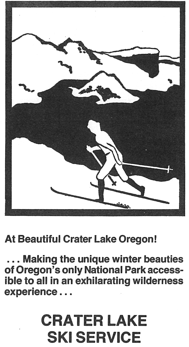
When the Crater Lake Ski Service began renting cross country skis and snowshoes at Rim Village in November 1978, its staff provided the impetus for a 1.3 mile loop to materialize. Dubbed the “Hemlock” Trail, this marked circuit fit between the village roadway and the Munson Valley Road below it. More experienced skiers could descend from Rim Village to Park Headquarters by way of a route that generally corresponded to the 1.2 mile road segment built under Superintendent Arant’s direction in 1904-05, which the ski service called the “Raven” Trail.180 The relatively rapid emergence of these and other ski trails was part of a tenfold increase in winter day use between 1977 and 1980, something also fueled by the NPS offering guided snowshoe walks on the weekends and the annual Alia Mage ski race that commenced in 1978.
 |
| Cover of Crater Lake Ski Service brochure, 1980, author’s files. |
While still more prevalent than winter trail use, hiking over the brief summer period showed only a slight increase during the same three year stretch. Although new trail construction had been limited to the realignment along the Dutton Creek Trail in 1977, what amounted to a more noticeable change came in 1980 with the installation of fifty anodized aluminum signs. Set on steel posts at trailheads or at junction points, these devices represented, at least in the view of Superintendent James Rouse, the first backcountry sign system for the park. Their installation coincided with the appearance of the trail guide, so Rouse was more likely closer to being right than most of his predecessors when he stated that the park’s trail system was now “defined.”181

