The 1994 figure did not include walkways, but it encompassed a mix of motorways, “standard” trails (as described earlier in this paper), or those having tread dug without the benefit of an engineering assistance. Only 22 miles of trail maintained at the time did not have their origin as a motorway, so any allusion to a “system” of pedestrian circulation had to be made almost tongue in cheek.200The park’s trail crew bounced back and forth as part of either the maintenance or ranger divisions; the former as a poor cousin to road maintenance priorities, and the latter as an adjunct to patrolling the backcountry. In any event, their top priority, that of opening the Cleetwood Cove Trail, had not changed. Clearing other trails and special projects could be done as time and the limited amount of funding allotted to the crew permitted, though this changed somewhat with creation of a permanent, subject to furlough position of crew leader in 1996. Cheri Killam-Bomhard filled the lead role so that the crew could continue their maintenance duties, but also augment the completion of an increasing number of special projects each summer.201
Not that any dramatic increases in funding followed, at least in the beginning. Some projects simply came out of park “base” (ONPS) funding, such as work to correct a rock fall hazard on the Cleetwood Cove Trail that resulted in a visitor fatality during the 1993 season, or subsequently replacing the creosote treated footbridges on the Castle Crest Wildflower loop and the Lady of the Woods Trail with re-creations of those built by CCC enrollees 60 years earlier. More routine tasks could be accomplished with a Youth Conservation Corps crew consisting of six to eight students from local high schools. Projects accomplished with the aid of Sierra Club members or the Friends group had to be relatively short in duration, such as removing culverts from the old motorway serving as a segment of the PCT or improvements such as building a bridge, rock culverts, and sand box on the Annie Creek Canyon Trail.202
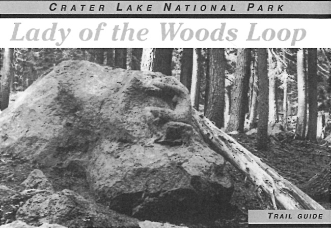
A combination of base funding and volunteer effort brought a loop trail at Park Headquarters into existence during the late summer of 1999. It arose from the need to rehabilitate structures such as the Superintendent’s Residence (declared a national historic landmark in 1987) within the Munson Valley Historic District, but also to have some way of facilitating self-guided interpretation of the district. Killam-Bomhard located a preliminary line for the trail, one that started at the Lady of the Woods and ascended to the residence, then continued downhill to finish at the Ranger Dormitory. It made use of ten numbered posts keyed to a booklet, something which represented the first interpretive trail constructed in the park since the early 1960s. The trail crew and members of the Friends group built roughly half of the tread and a footbridge over an August weekend. NPS employees essentially completed the project several weeks later on a cross-divisional workday, one that allowed for distributing an interpretive booklet published by the Crater Lake Natural History Association to participants.203
 |
| Cover of an interpretive brochure, 2007. Photo by Alex Sparrow; booklet produced by the Crater Lake Natural History Association. |

