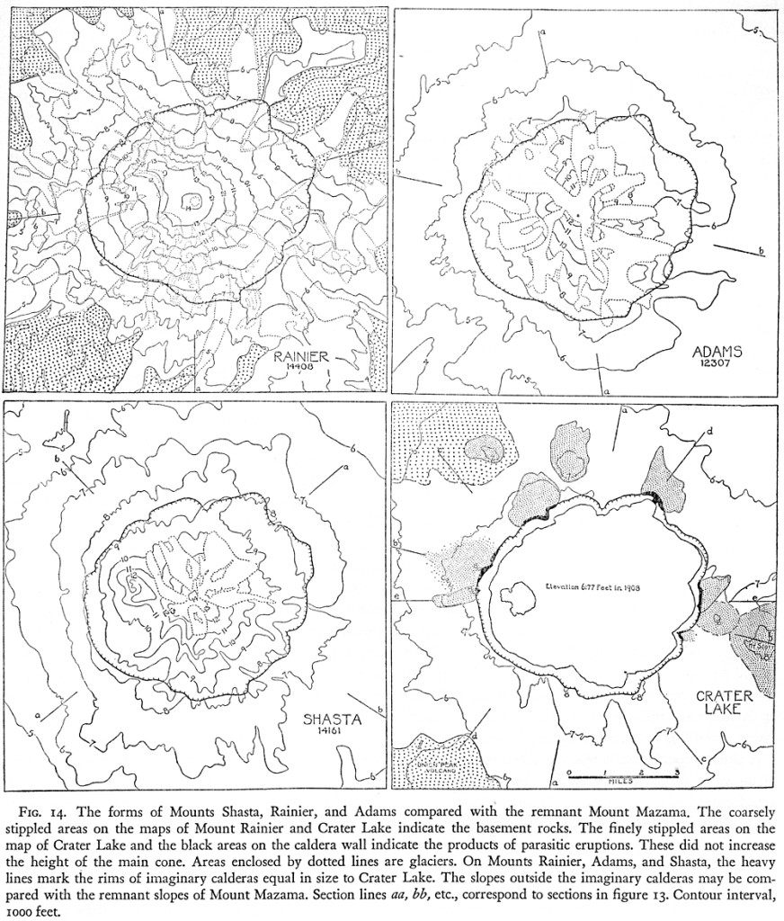
Consider the rim of Crater Lake. Certain precautions must first be taken. In order to estimate the original height of the peak, the eminences on the rim which are due to parasitic, flank eruptions must be ignored and account taken only of what we have termed the “primary slopes,” namely, those built by eruptions from the central, summit crater. For example, if sections be drawn across the volcano through the Watchman, Hillman Peak, Llao Rock, Rugged Crest, or Redcloud Cliff, they give a false impression, for each of these high points owes its origin to eruptions not from the summit crater, but from the flanks of Mount Mazama. That is why the profiles of Mazama seen from a distance are deceptive. They all suggest that the peak must have been higher than it probably was.
The “primary slopes” were formed by the thin-bedded andesites which make up the bulk of the caldera walls. These slopes reach their greatest elevation on the south rim of the caldera between Dutton Cliff, at a height of 8150 feet, and Garfield Peak, at 8060 feet. Along the western rim of the caldera, the primary surface varies in height between 7000 and 7500 feet. Thence it falls eastward, passing beneath the Cleetwood flow and reaching lake level, 6177 feet, near Palisade Point. Reappearing above lake level close to the Wineglass, it rises southward to heights between 7000 and 7500 feet. In brief, the primary surface of Mount Mazama is approximately 8000 feet high on the south rim of the caldera, 6000 feet on the north, and at intermediate elevations on the other walls.


