The Geology of Crater Lake National Park, OregonWith a reconnaissance of the Cascade Range southward to Mount Shasta by Howell Williams
The Glaciation of Mount Mazama
Evidences of Early Glaciation on the Caldera Walls
It was Atwood1 who first discovered that many glacial layers occur on the walls of the caldera, and that the surfaces of some of the oldest lavas have been striated by passing ice. Since then, many more horizons of glacial debris have been found and ice-polished surfaces have been discovered a few feet from the edge of the lake. The general distribution of these glacial deposits is shown on the map, figure 31, and in the panoramas, plates 23 to 29.
Those who may wish to examine these evidences of glaciation will find the best and most convenient exposures along the north wall between Pumice Point and the Wineglass, and along the east wall immediately south of the V-shaped lava flow on Redcloud Cliff. On the west and south walls of the caldera the glacial deposits are not so well developed, and access to most of them is rather hazardous.
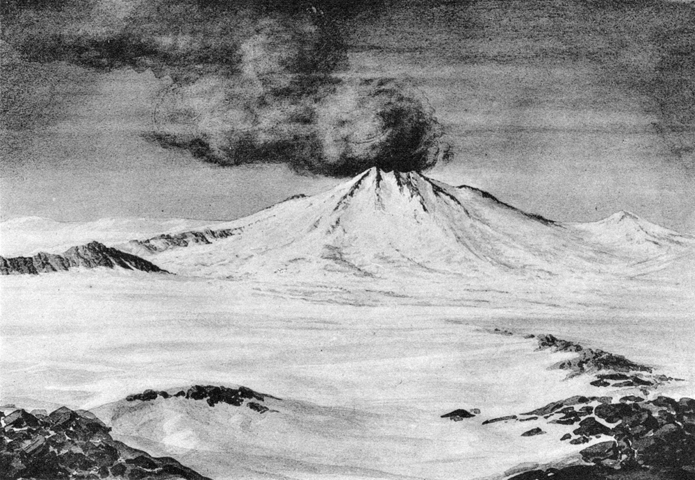
The following notes refer to the principal evidences of glacial action on the caldera walls. For an artist’s reconstruction of the appearance of Mount Mazama at the time of its maximum glaciation, see plate 22, figure 2.
|
Plate 22. Fig. 2. Mount Mazama at the time of maximum glaciation, looking north. From a painting by Paul Rockwood. |
***previous*** — ***next***


