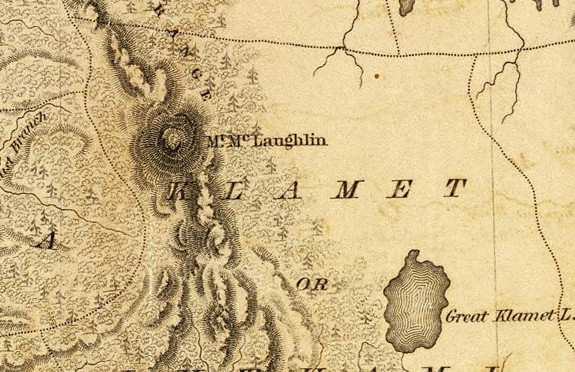
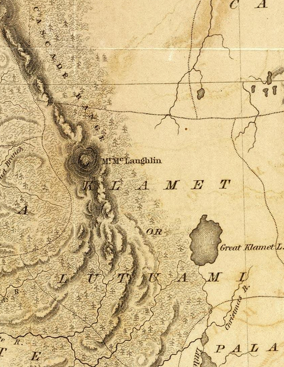
Crater Lake on the map Timeline – 1845 map of the Oregon Territory
| Description Author: United States Exploring Expedition (1838-1842); Wilkes, Charles, 1798-1877 Map of the Oregon Territory by the U.S. Ex. Ex. Charles Wilkes Esqr. Commander. 1841. J.H. Young & Sherman & Smith, N.Y. (with) Columbia River reduced from a survey made by the U.S. Ex. Ex. 1841.Publication Title: Atlas. Narrative of the United States Exploring Expedition During the Years 1838, 1839, 1840, 1841, 1842. By Charles Wilkes, U.S.N. Commander Of The Expedition, Member Of The American Philosophical Society, Etc. In Five Volumes, And An Atlas. Philadelphia: Lea & Blanchard. 1845. (on verso)Entered … 1844, By Charles Wilkes … District of Columbia. |
Other pages in this section


