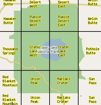
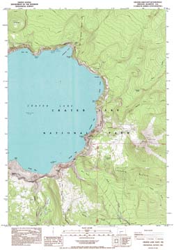
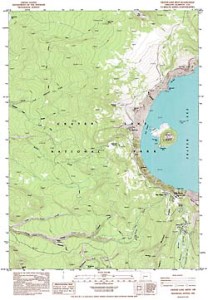
 Crater Lake West, 7.5′ quadrangle, 1985 PDF compressed fileusgs-crater-lake-west-7.5 Crater Lake West, 7.5′ quadrangle, 1985 PDF compressed fileusgs-crater-lake-west-7.5 |
 Crater Lake East, 7.5′ quadrangle, 1985 PDF compressed fileusgs-crater-lake-east-7.5 Crater Lake East, 7.5′ quadrangle, 1985 PDF compressed fileusgs-crater-lake-east-7.5 |
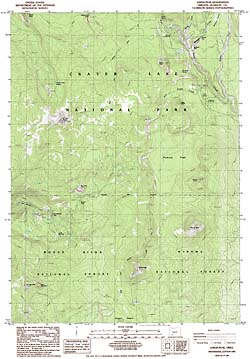
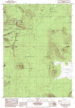
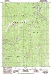 Union Peak, 7.5′ quadrangle, 1985 PDF compressed fileusgs-union-peak-7.5 Union Peak, 7.5′ quadrangle, 1985 PDF compressed fileusgs-union-peak-7.5 |
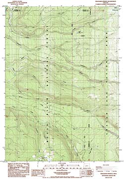
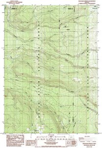 Thousand Springs, 7.5′ quadrangle, 1985 PDF compressed fileusgs-thousand-springs-7.5 Thousand Springs, 7.5′ quadrangle, 1985 PDF compressed fileusgs-thousand-springs-7.5 |
|

Sun Pass, 7.5′ quadrangle, 1985 PDF compressed file
usgs-sun-pass-7.5
|
Maklaks Crater, 7.5′ quadrangle, 1985 PDF compressed file
usgs-maklaks-crater-7.5
|
|
Hamaker Butte, 7.5′ quadrangle, 1985 PDF compressed file
usgs-hamaker-butte-7.5
|

Pothole Butte, 7.5′ quadrangle, 1985 PDF compressed file
usgs-pothole-butte-7.5
|
|
Pumice Desert West, 7.5′ quadrangle, 1985 PDF compressed file
usgs-pumice-desert-west-7.5
|
Pumice Desert East, 7.5′ quadrangle, 1985 PDF compressed file
usgs-pumice-desert-east-7.5
|
|
Red Blanket Canyon, 7.5′ quadrangle, 1985 PDF compressed file
usgs-red-blanket-canyon-7.5
|
|
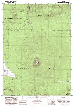
Crater Lake, 30′ x 60′ quadrangle, 1989 PDF compressed file
usgs-crater-lake-30-minute
|
|
Diamond Lake, 30′ x 60′ quadrangle, 1978 PDF compressed file
usgs-diamond-lake-30-minute
|
|
Williamson River, 30′ x 60′ quadrangle, 1980
PDF compressed file
usgs-williamson-river-30-minute
|
|
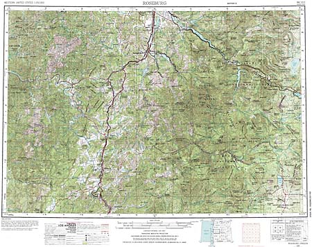
Roseburg, 1° x 2° quadrangle, 1970
PDF compressed file
usgs-roseburg-1-2
|
|

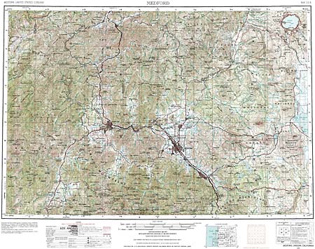
Medford, 1° x 2° quadrangle, 1976
PDF compressed file
usgs-medford-1-2
|
|
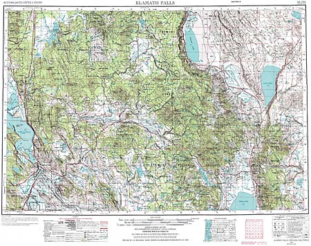
Klamath Falls, 1° x 2° quadrangle, 1970
PDF compressed file
usgs-klamath-falls-1-2
|