North Entrance Road
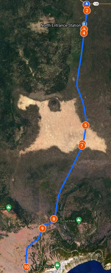
From the Diamond Lake (North) Junction on Rim Drive, the North Entrance Road runs 9.2 miles north to meet state highway 138. Open pumice fields and features like Red Cone (7363′), Bald Crater (6478′), and Grouse Hill (7412′) dominate the panorama as visitors ascend from the northern park boundary to the Crater Lake rim.
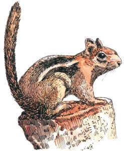
Golden-mantled Ground Squirrel – watch out, these small squirrels tend to dash across the roads of Crater Lake. Slow down and give these guys a break.

See this map and descriptions in Google Earth
| North Entrance Road
Total distance: 9.2 miles |
|
| 1 |
Northern park boundary (mile 0.0) Highway 138 enters Crater Lake National Park amidst a forest of hemlocks and Shasta red firs. |
| 2 |
North Entrance sign (mile .18) You will find an Entrance sign here. This is s a nice location for a photograph. |
| 3 |
North Entrance Station (mile 0.75) |
| 4 |
Lodgepole pine forest turnout (mile .88) At this elevation in the park lodgepole pine is usually the first tree to gain a foothold in areas denuded by fire or other catastrophes. |
| 5 |
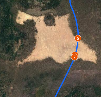
Pumice Desert Entrance (mile 3.7) At this point the visitor leaves the lodgepole pine forest and enters the Pumice Desert, a broad flat in the northern section of the park. This desert was covered with pumice and ash more than 200 feet deep in some places by the explosion of Mount Mazama. It has only started to be invaded by scattered lodgepole pines. Due to its scarcity of organic matter, few plants have taken hold to further enrich the soil. Straight ahead is Llao Rock with the point of Hillman Peak to it’s right. Mount Scott is to the southeast. |
| 6 |
Pumice Desert Turnout (mile 4.26) There is an interpretive marker here describing the origins of the Pumice Desert. Desert Ridge and Desert Cone lie to the northwest and Timber Crater is to the northeast. This is also a great location for photographs. Timber Crater (7,403 feet) is to the Northeast. |
|
Other pages in this section


